This week marked the beginning of hurricane season, and experts predict that this year the situation with the storms will be worse than usual.
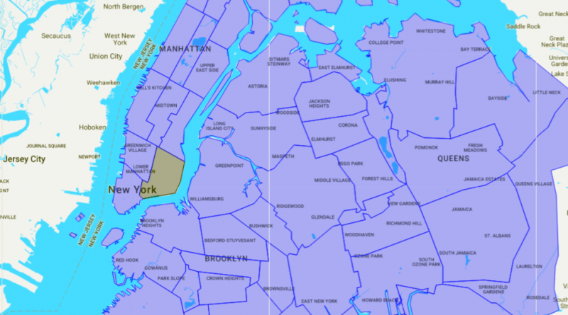
To better inform new Yorkers about the risks of sea level rise and storm surges, non-profit organization of Waterfront Allianceworking to protect coastal zones, has published a special online map. It allows users to get comprehensive information on the safety of embankments and stability of the coast. When collecting the material, the researchers found that more than 400,000 residents of new York faces a 50 percent risk of major flooding, which can occur before 2060.
The map draws attention to such indicators as access to the promenade, ie how to get to the water, water quality and the risk of coastal flooding. Waterfront Alliance believe that the map will become a vital tool for citizens and citizen groups demanding government action on local, national and Federal levels to ensure security in all areas of new York with access to the ocean.
In their study, the analysts also Waterfront Alliance found that more than 40% of those at risk of severe flooding, faced with economic difficulties when coping with the storm. In addition, almost a quarter of water samples taken on the quays of new York, do not meet the requirements of the Federal Agency for the protection of the environment. This is explained by the fact that 17 billion gallons of sewage are dumped in the waterways of the city.
