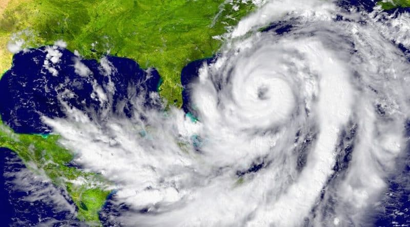
The flood, which is now raging in Texas, will take pride of place next to hurricanes Katrina and sandy, as one of the worst in the history of the USA. According to scientists, this is the third thread that has gone beyond the «500-year» flood zones in the area of Houston over the past three years.
According to information Davis Center for Watershed Sciences, the area of the water distribution is so broad that a detailed assessment of the situation is impossible. The centre has prepared a provisional map of the flooding in Houston from tropical storm Harvey. The data show a striking degree of flooding. Reservoirs are overflowing, the streams and rivers rises above flood level, and the trails and roads literally turned into rivers.
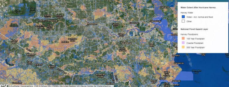 Map of flooding in Harris County, Texas: the intensity of flooding after hurricane Harvey. Source: ucdsoftware.maps.arcgis.com
More details with a map are available on the website ucdsoftware.maps.arcgis.com.
In the report of the Davis Center, said that the catastrophic extent of the current flooding points not only to the extreme weather phenomenon, but a pattern of recurring floods. Compounding the situation is that Houston and areas near the city are constantly evolving, thus there is no balanced hydrological planning. Researchers recommend that local authorities pay attention to these facts after recovering from the hurricane.
